|
|
||||||||
Aircraft As Seen From Our Patio (See Explanatory Note)( Link to other aircraft photos ) |
||||||||
 |
 |
 |
 |
 |
 |
|||
 |
 |
 |
 |
 |
 |
|||
 |
 |
 |
 |
 |
 |
|||
 |
 |
 |
 |
 |
 |
|||
 |
 |
 |
 |
 |
 |
|||
 |
 |
 |
 |
 |
 |
|||
 |
 |
 |
 |
 |
 |
|||
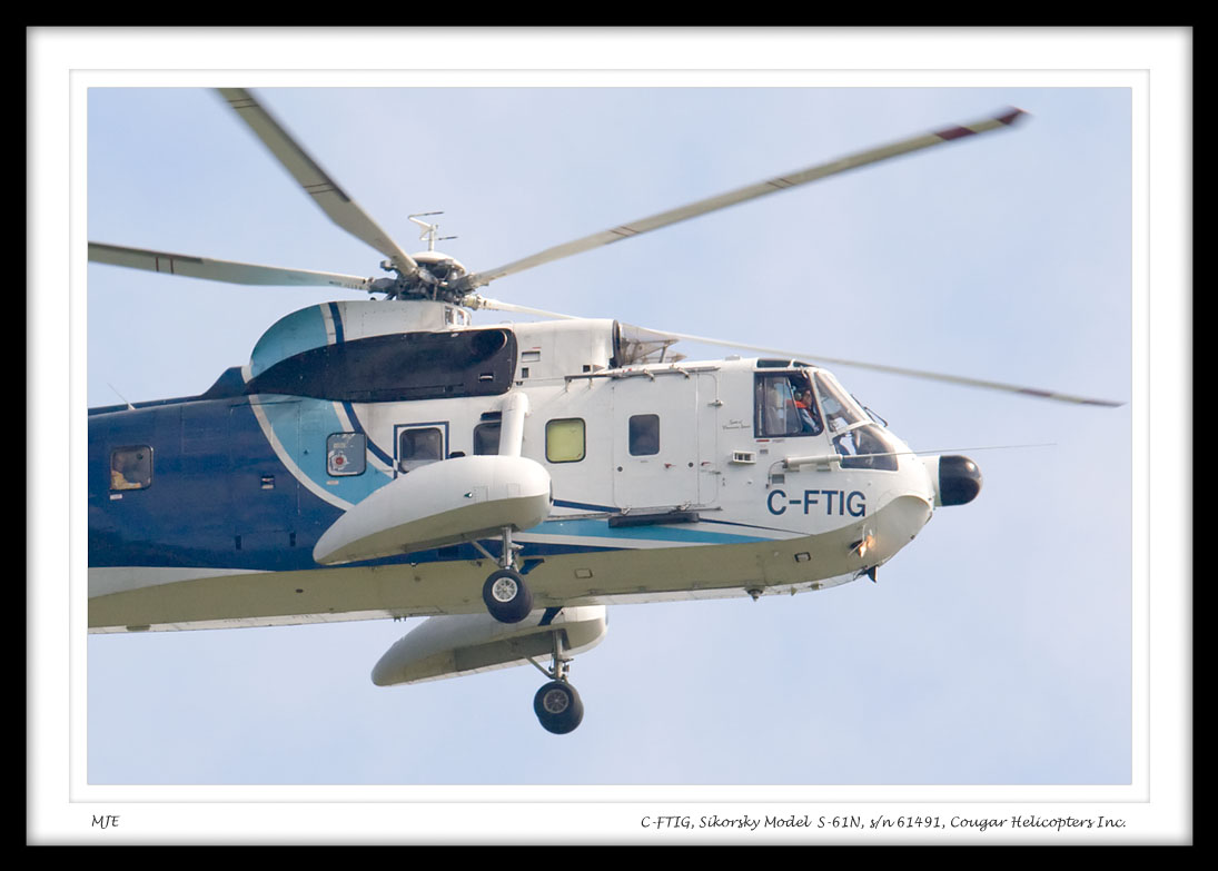
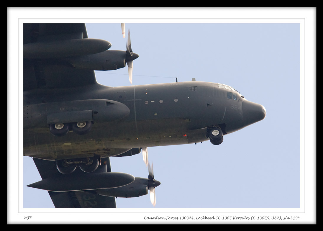
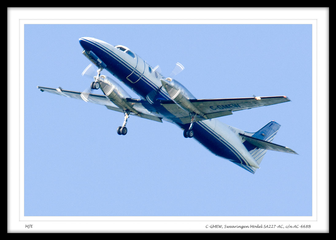
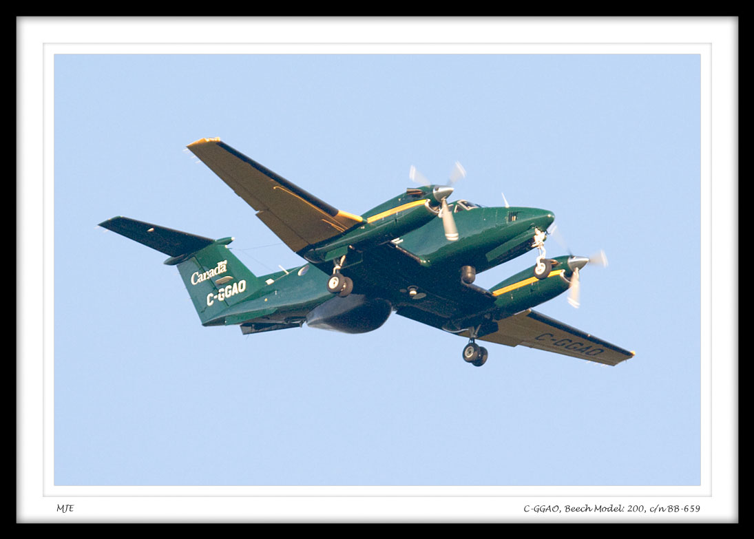
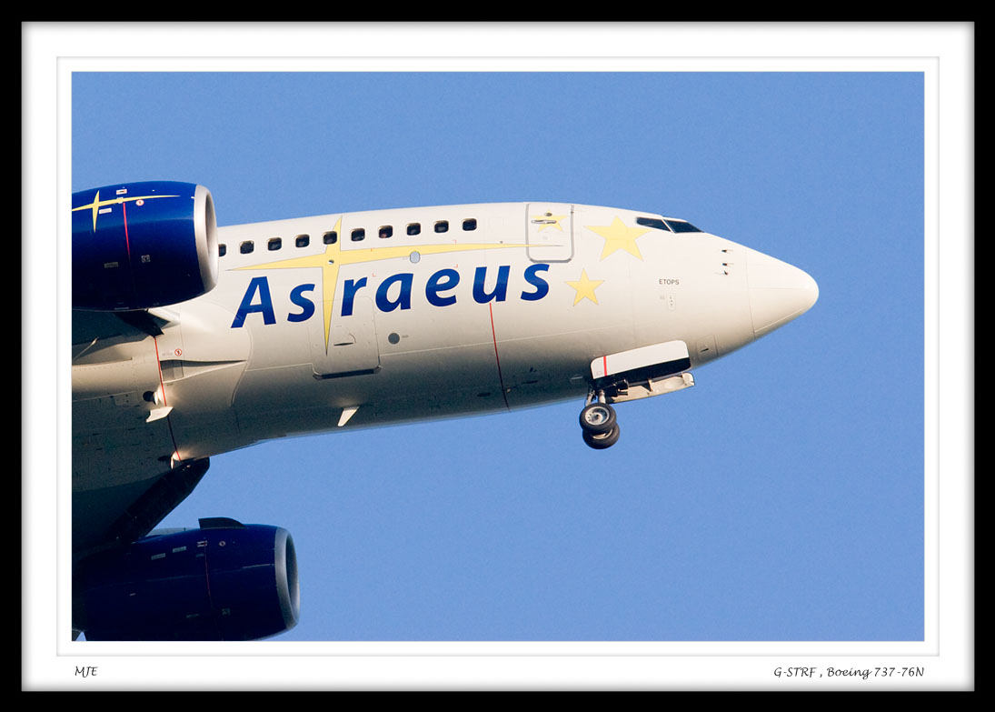
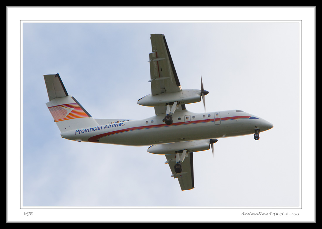
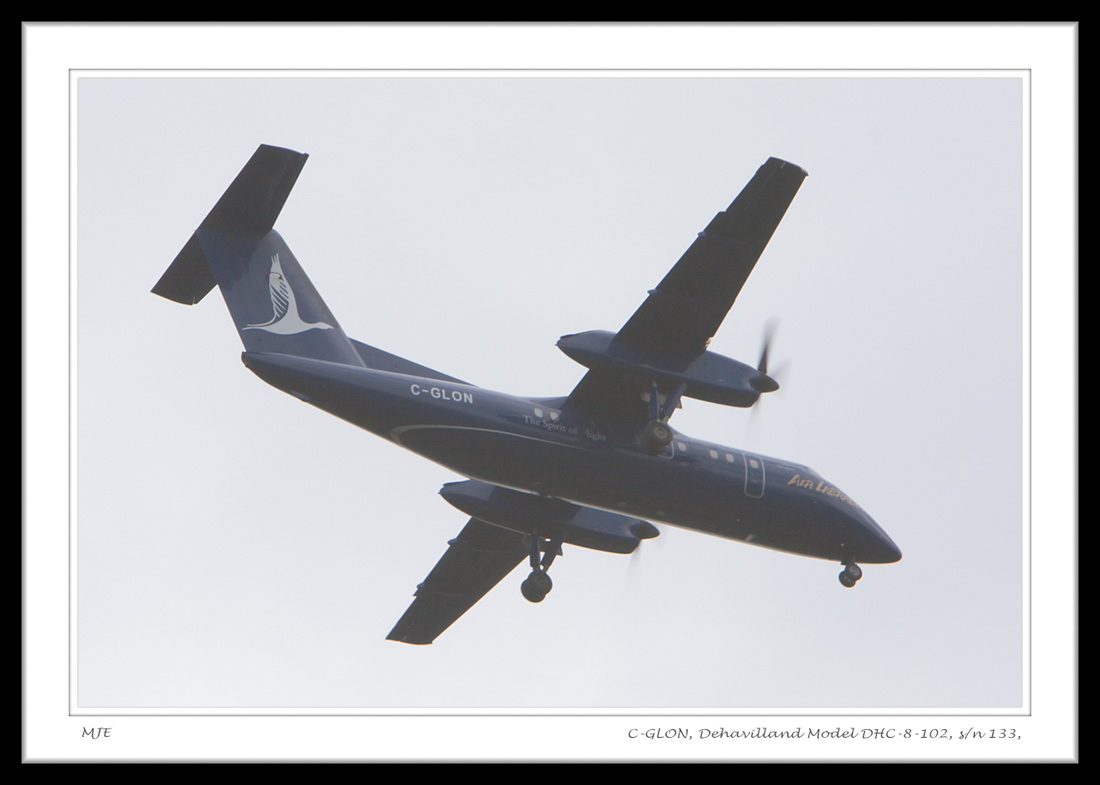
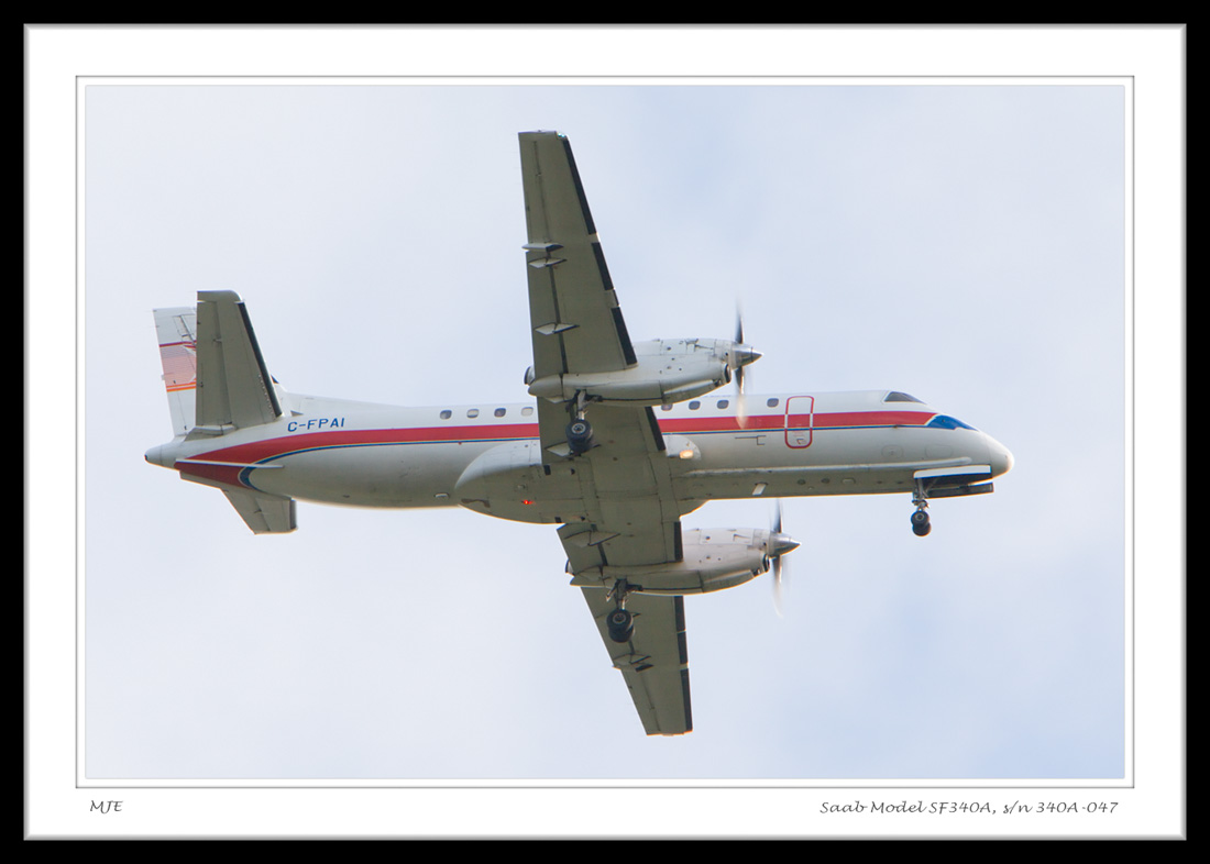
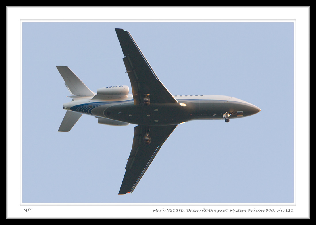
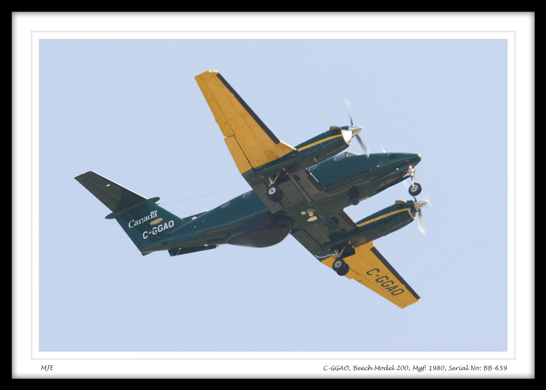
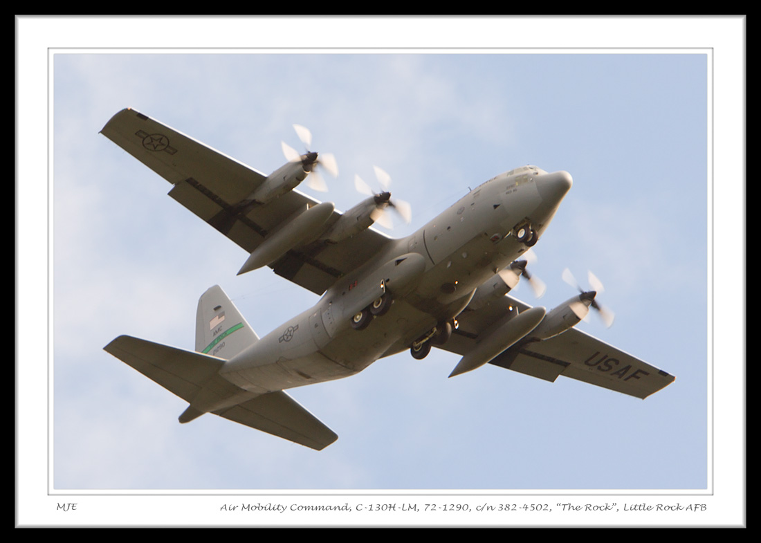
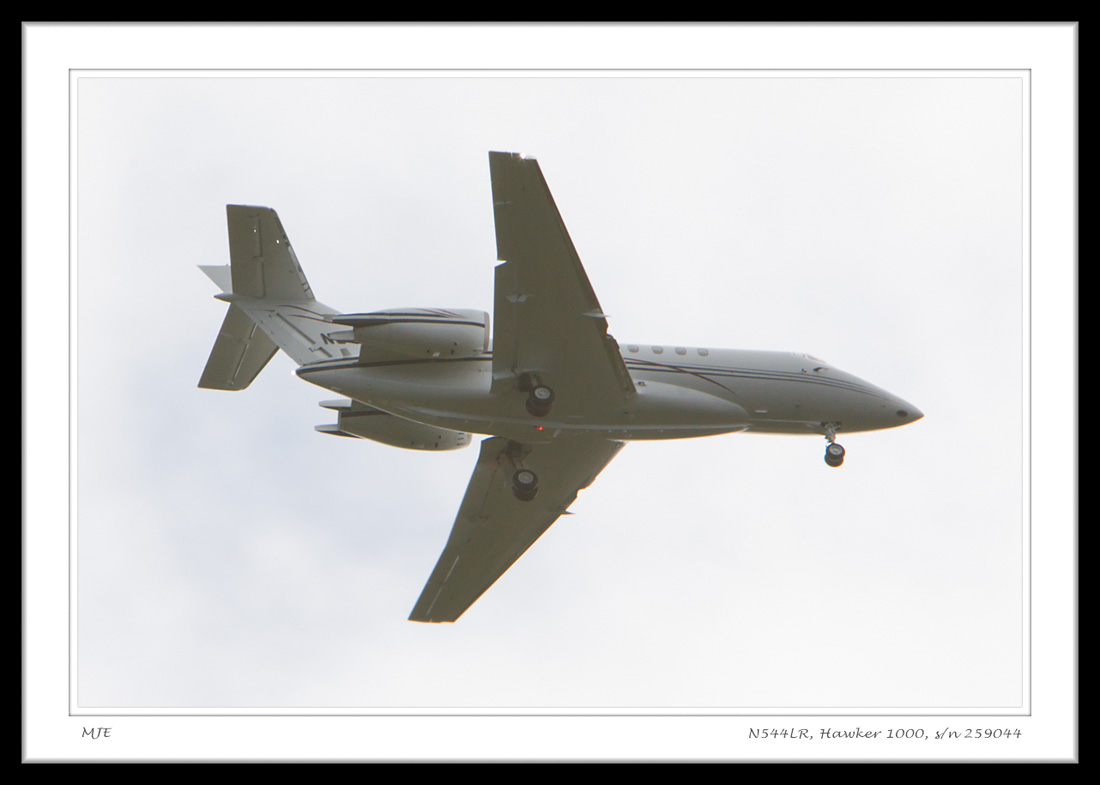
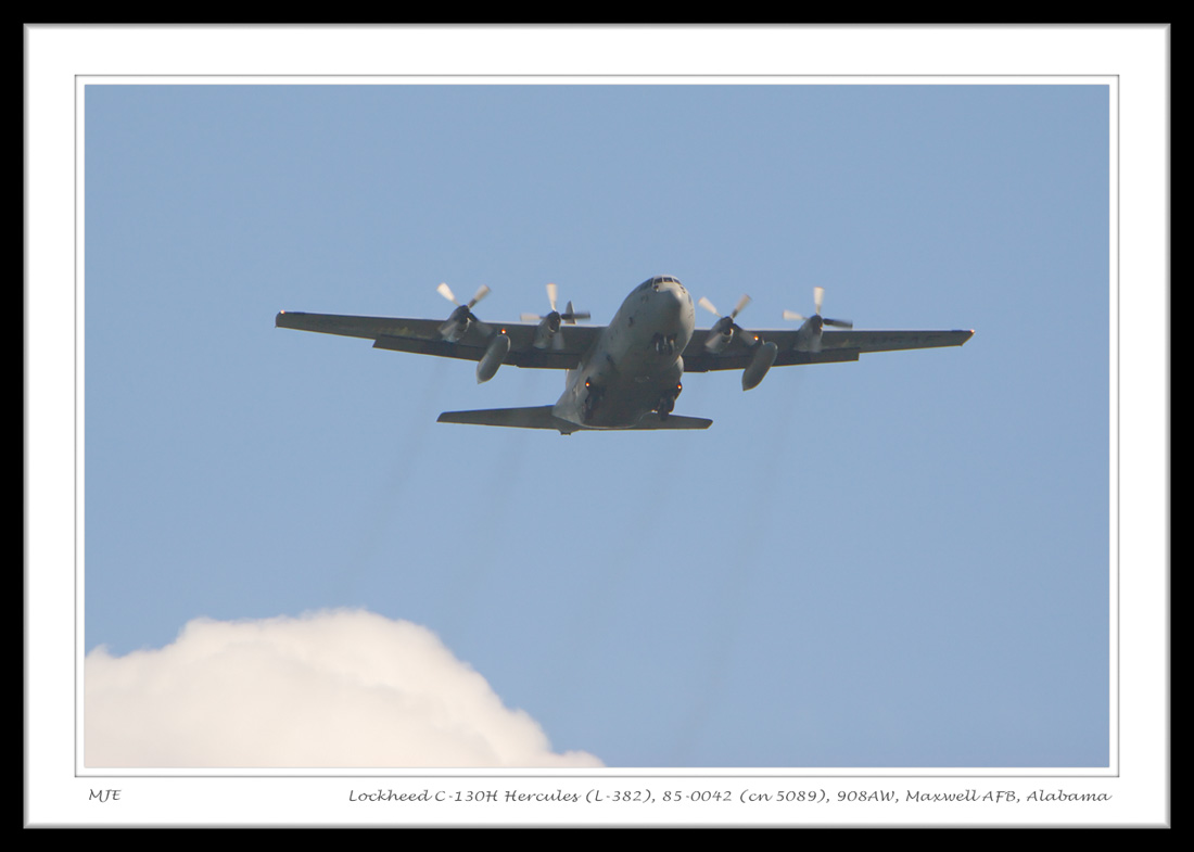
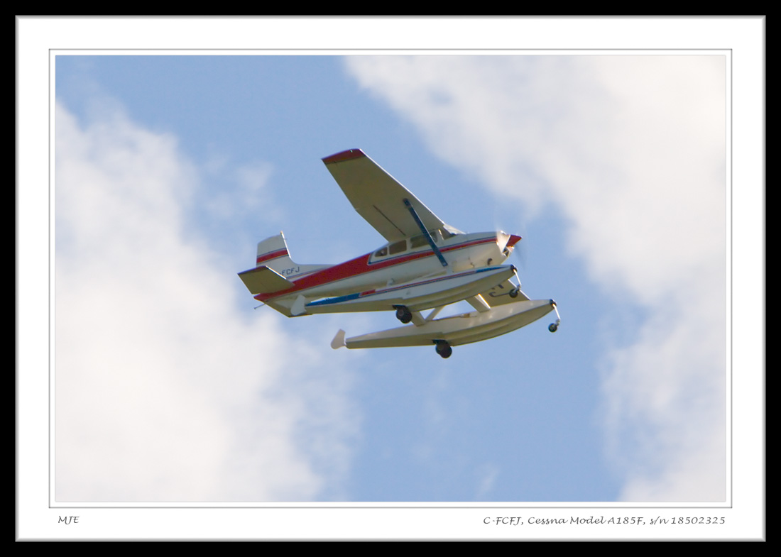
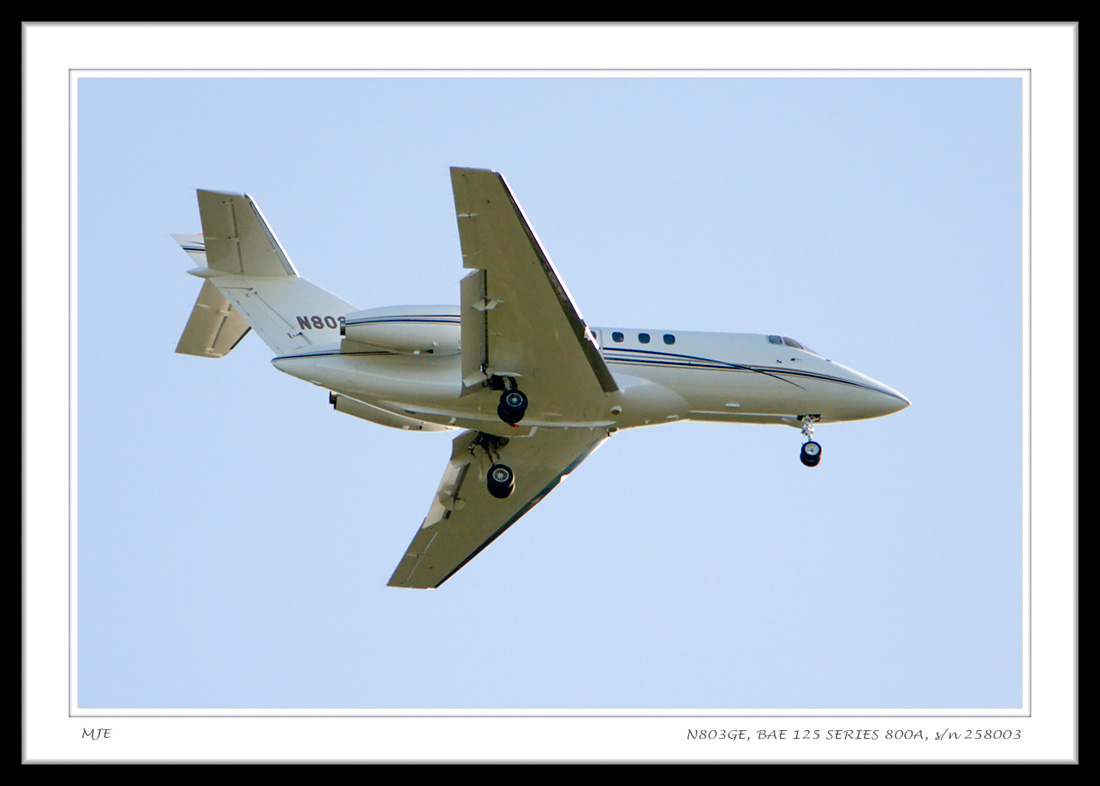
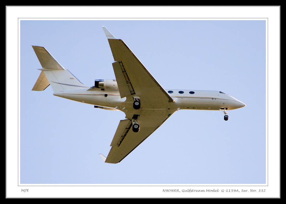
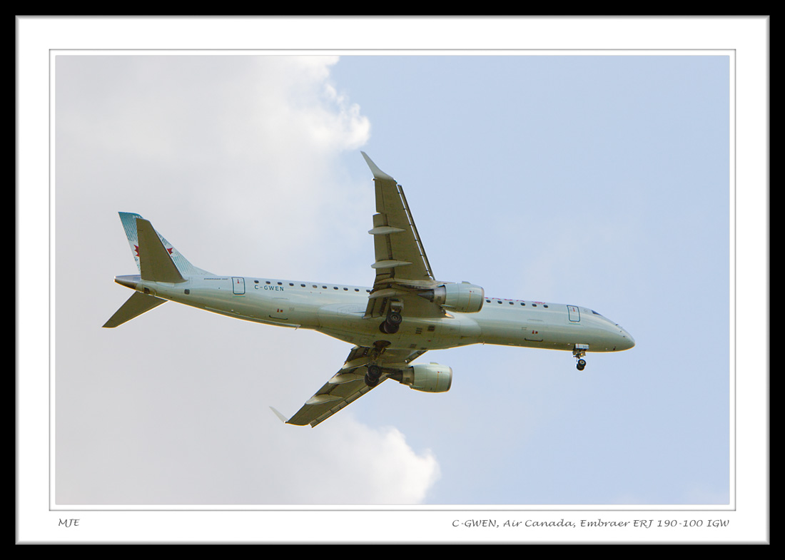
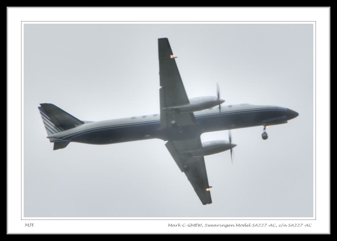
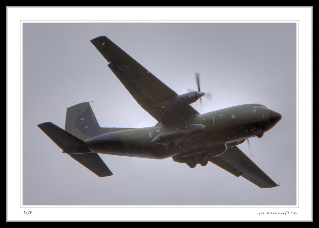
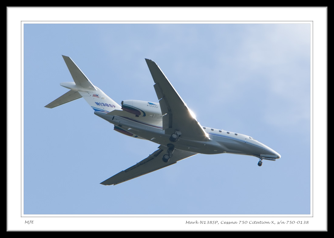
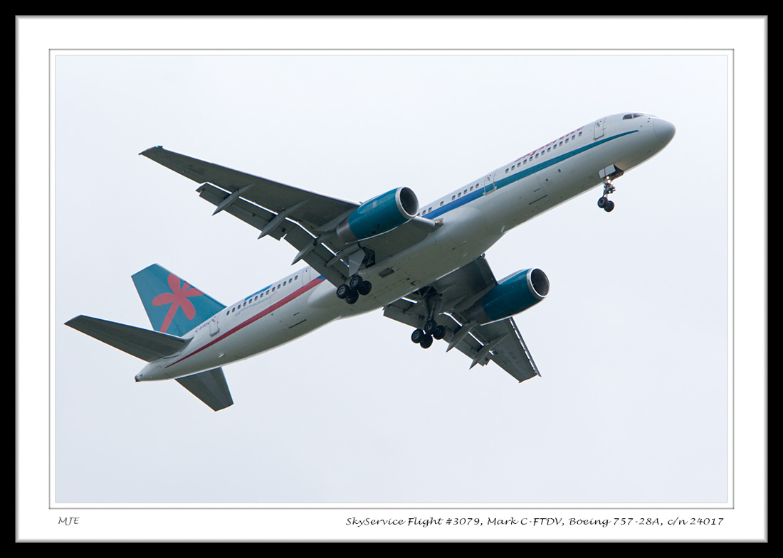
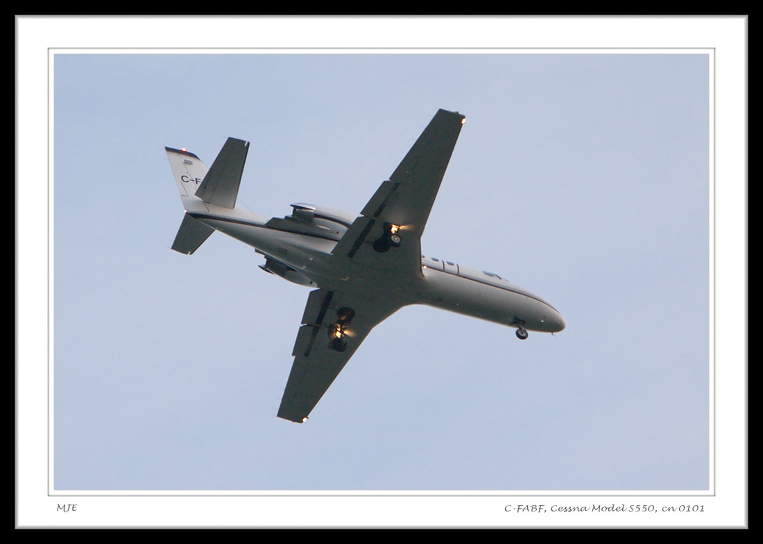
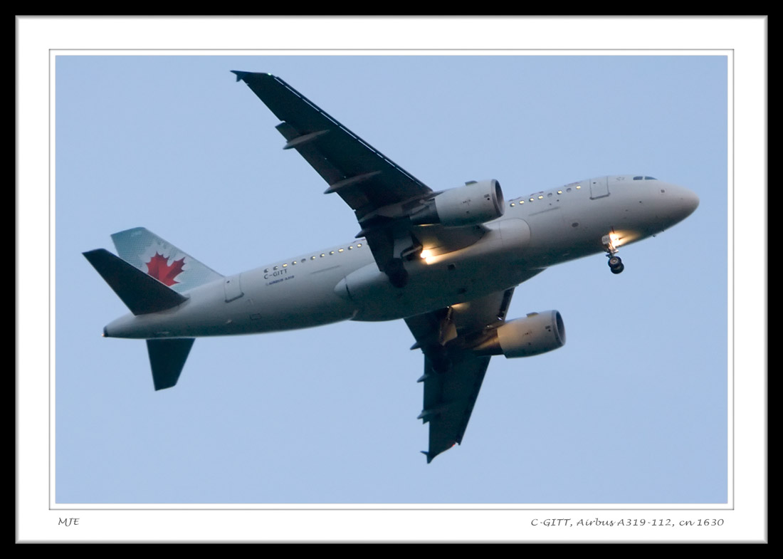
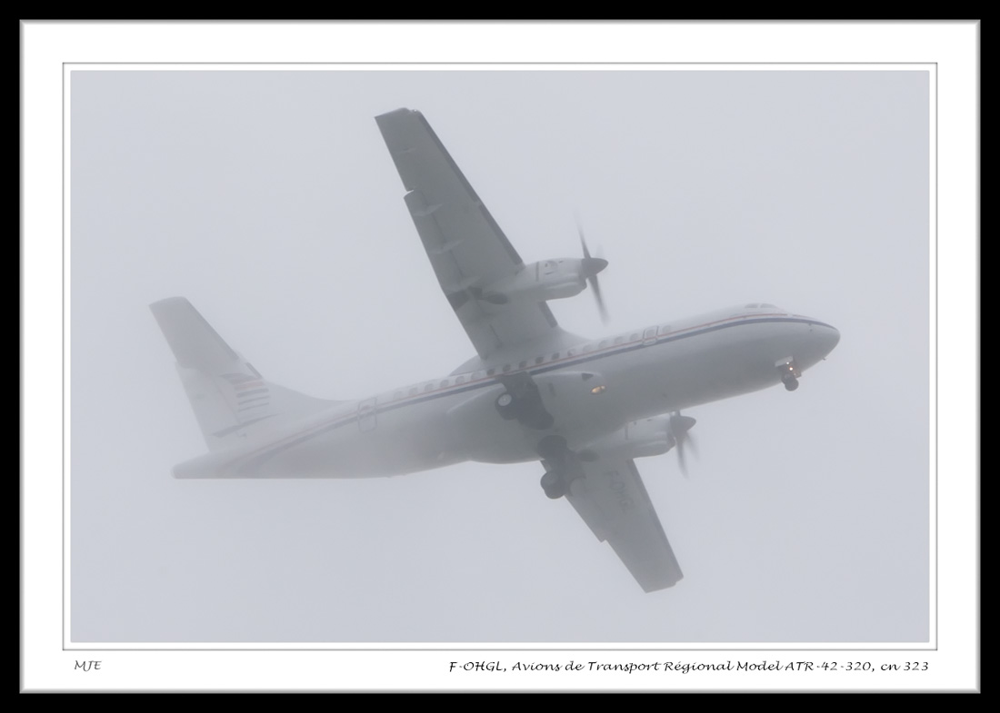
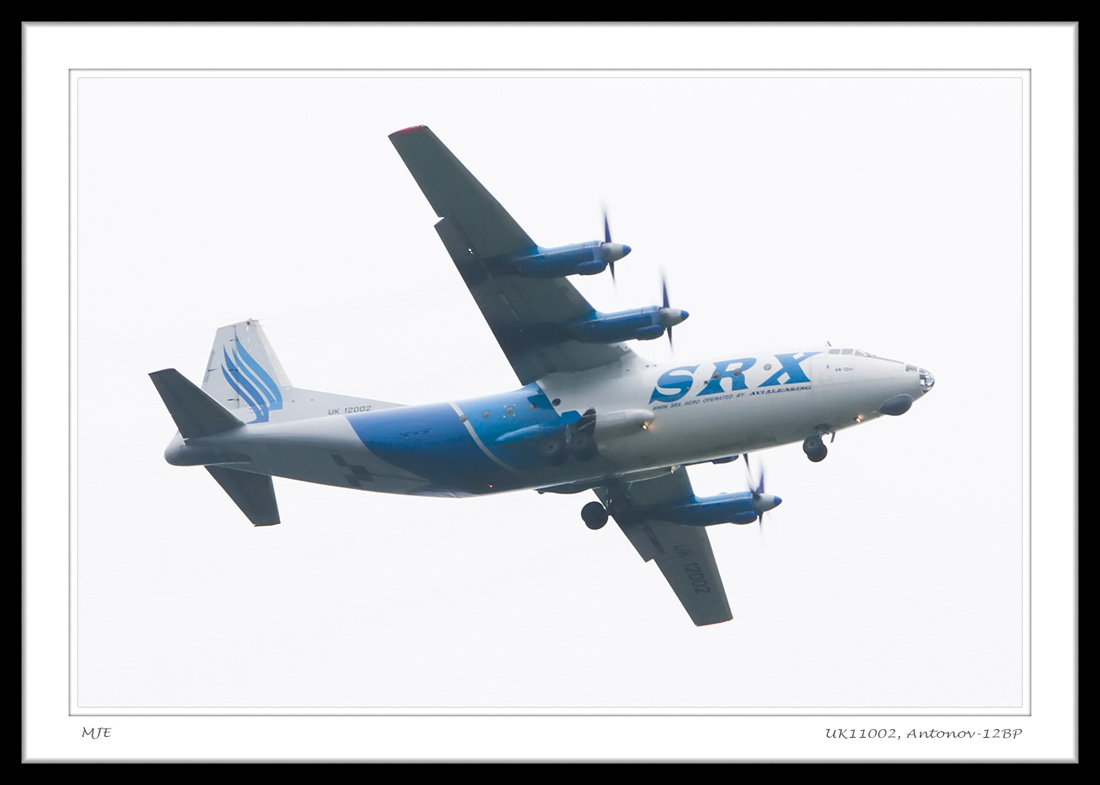
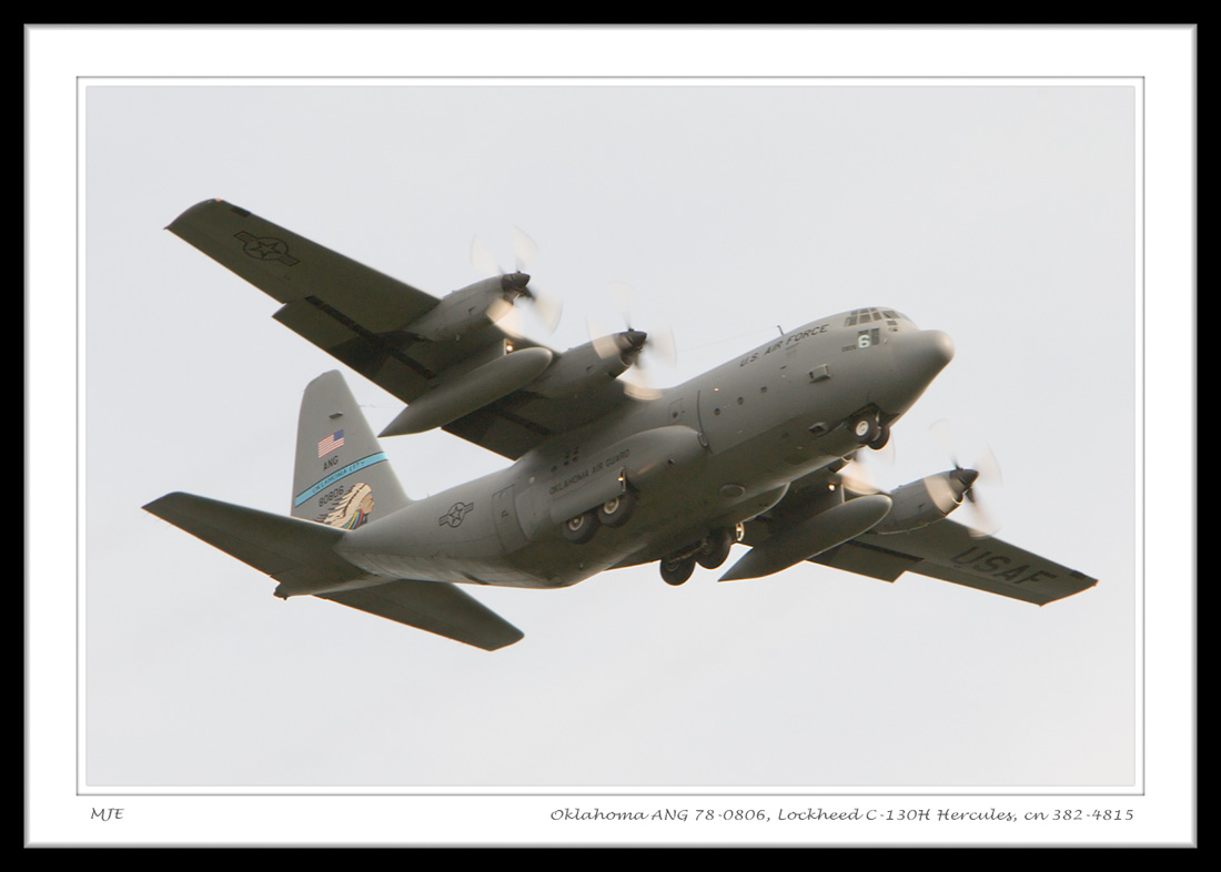
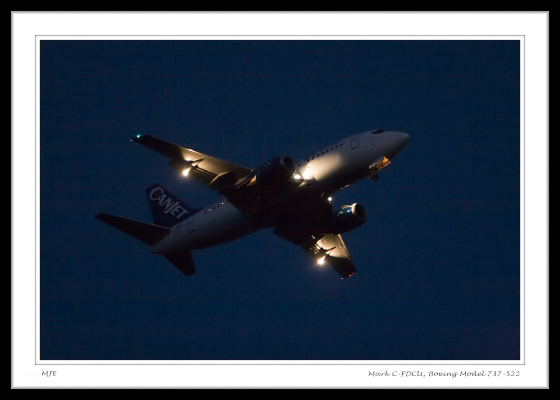
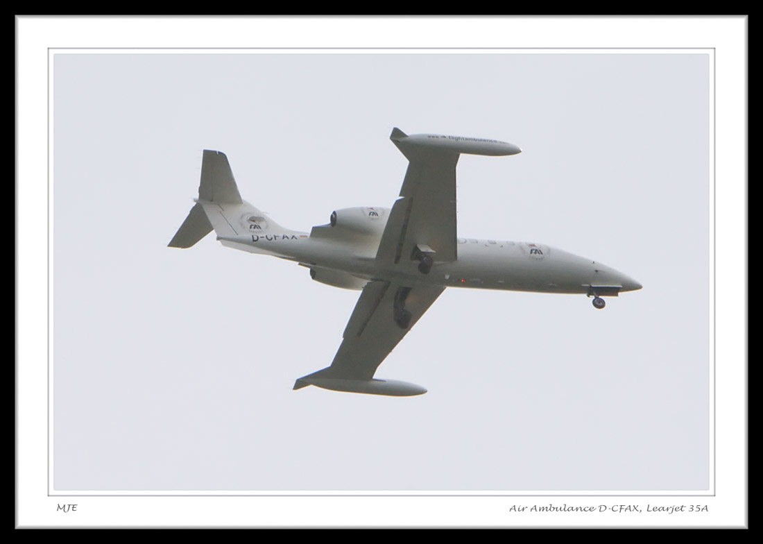
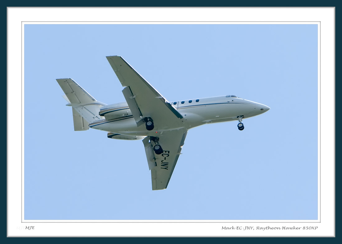
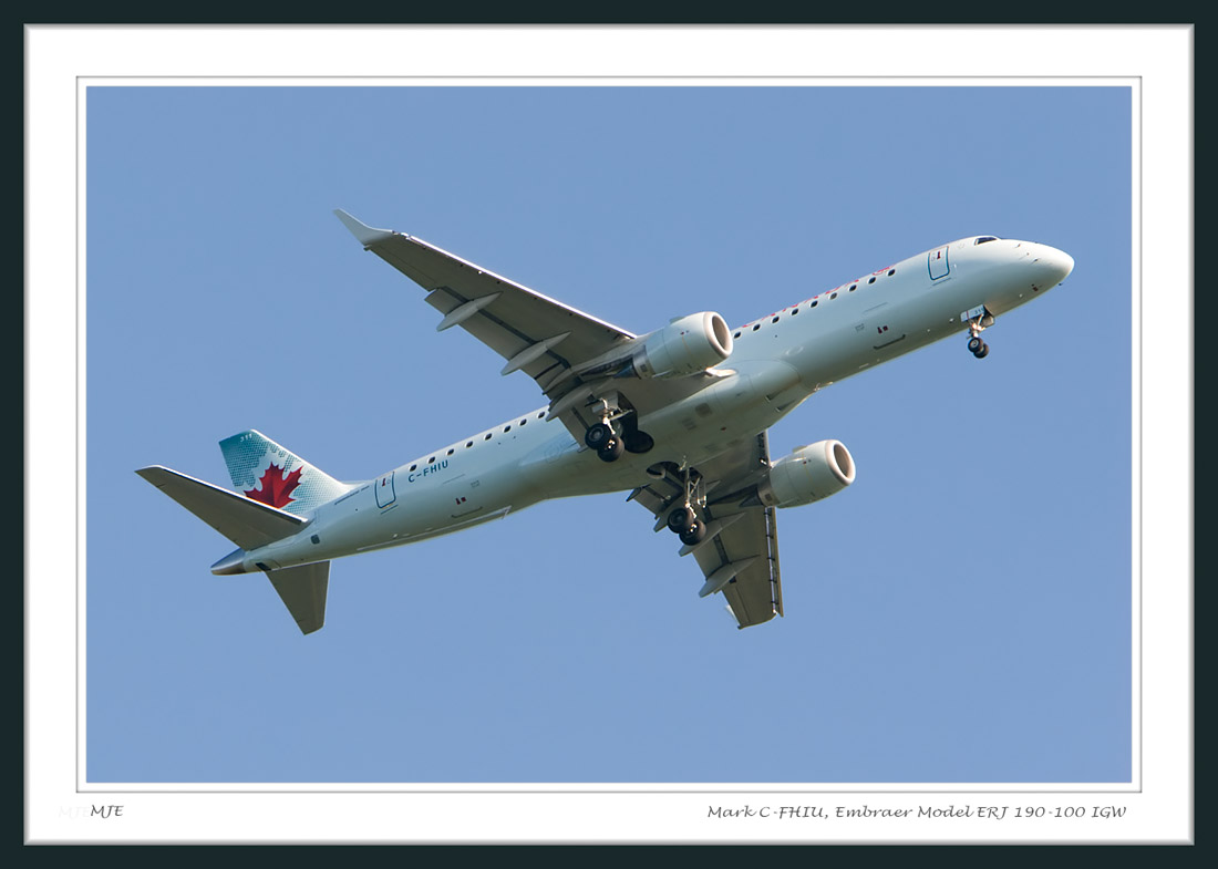
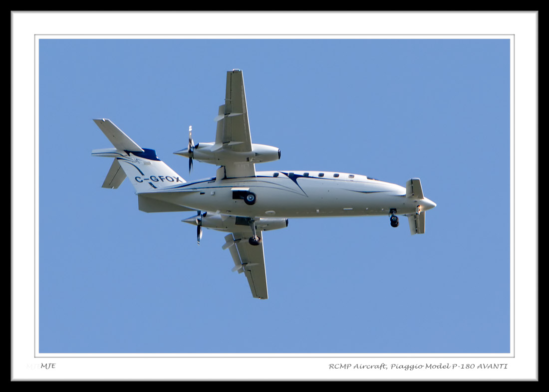
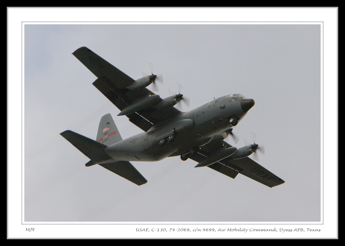
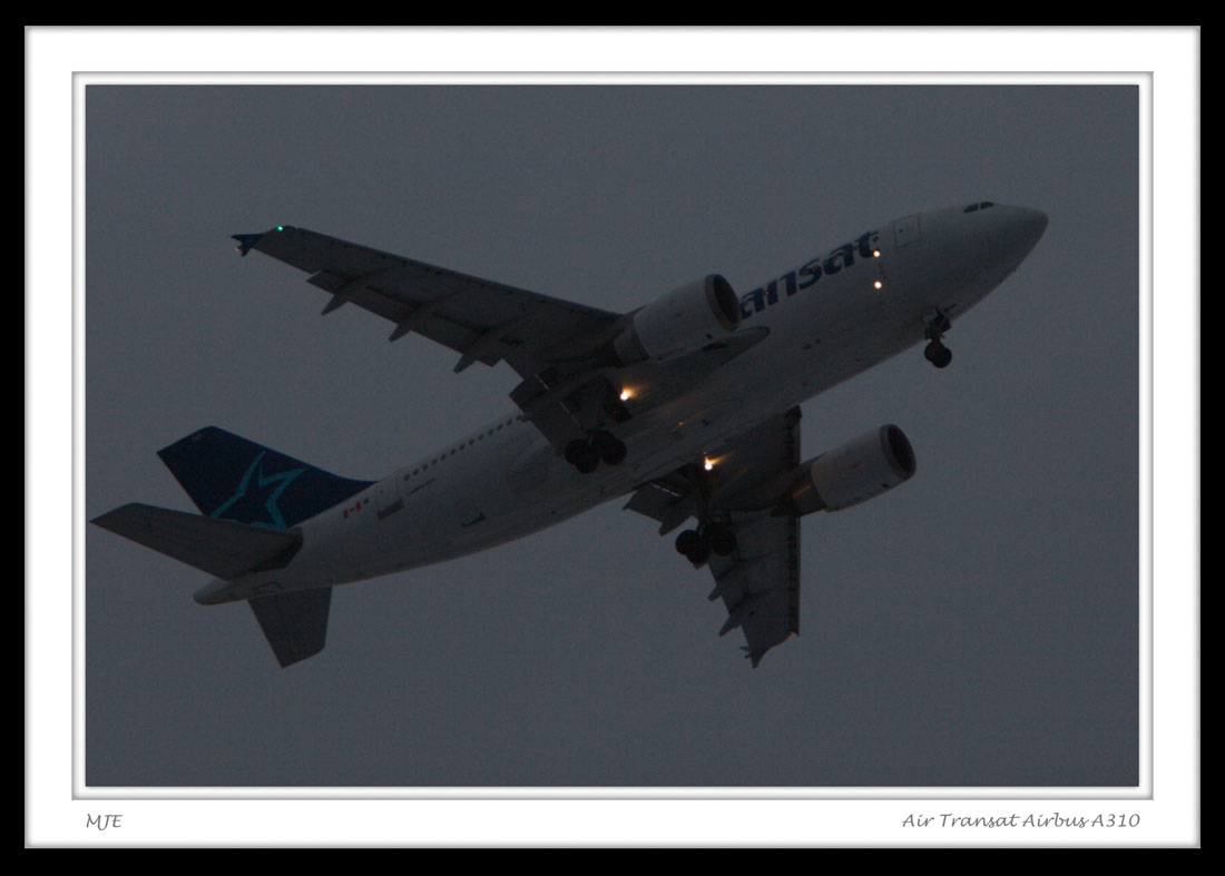
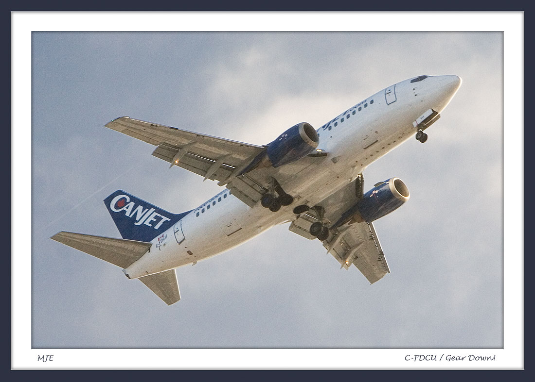
About These PhotosThese aircraft are all on approach (some visual and some ILS) to RWY 29 at C-YYT, St. John's International Airport (Torbay), St. John's, Newfoundland, Canada. The photos were taken from our patio while the planes were at a point approximately 2.0 NM (3.7 Km) from the runway threshold. I use a Canon 20D digital camera with a Canon EF 70-200mm f/2.8L IS USM telephoto lens and sometimes a Canon Extender EF 1.4x II. I shoot in RAW mode, and import the images into Adobe Photoshop. The images are then exported in JPEG format for display on the Web. I use a Yaesu VR-5000 communications receiver to monitor the crew's approach communications with NAV Canada's ATC in Gander, on 133.150 MHz. I also monitor the St. John's Tower on 120.6 MHz and Ground communications on 121.9 MHz. The ATIS for YYT is on 128.0 MHz. For commercial flights, I occasionally check the St. John's Airport Arrivals Website, or the RLM Flight Tracker to gain information about the flight's point of origin. The Exif and IPTC data is attached to the images and time is shown in UTC (GMT). I keep the camera's time synchronized with the NIST time signal. Click on the thumbnails below for larger images. If your web browser automatically re-sizes images, you can override this feature to see the complete detail in the full-sized photos. New pictures are added periodically. The pictures appear in the reverse order of when they were taken. The quality of some of these images is not as good as I would like but altitude and atmospheric conditions play a big part in determining the picture quality. I can get much better images when I go over to the airport to take the photographs but this page is reserved for photos taken from our patio. My purpose is to show what the planes look like as they fly past our house. Feel free to email JustPhotos with your feedback. A great set of unofficial charts for C-YYT are available, for use only with PC flight simulators, from VATCAN (Virtual Air Traffic Control Canada). A public database at Transport Canada provides Canadian aircraft registration data while U.S. and World Aircraft Registrations are available from Landings.com. Globemaster has information on U.S. military aircraft. Airline logos are available at AeroSite Airline Logos. Click here for aircraft photos taken with my old Canon PowerShot G2 camera. |
||||||||
|
||||||||